Strangely enough, but there exist a big difference between Siberia as a geographical region and as a Russian federal district: the former is bigger as contains more areas. That’s why not every Russian can say where Siberia is located and where its boundaries are.
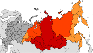
The image below illustates the problem:
The red part is an official Siberian federal district numbering in 12 regions. Yeah, somebody had a good sense of humor defining boundaries of a district. But, it’s not the point.
The dark orange area is a modern understanding of Siberia as a geographical region, i.e. without Far East, and the light one is its historical understanding. Moreover, as a geographical region, it is used to include a northern part of Kazakhstan and Mongolia.
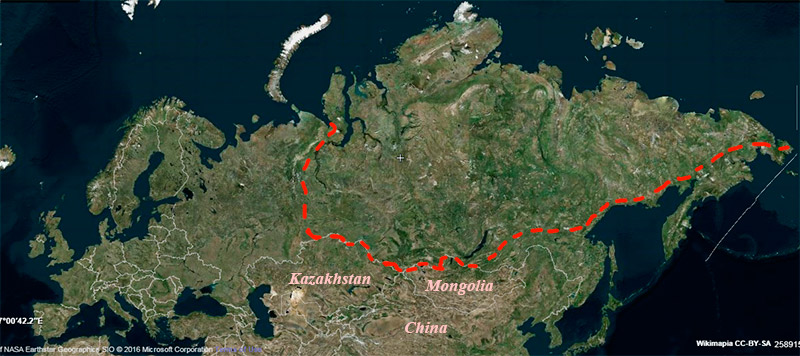
I encountered one more version: Siberia is a territory between Ural mountains on the West and watershed mountain ranges on the East that divide river basins of the Arctic and Pacific Oceans.
Like this:
All that means that nobody knows for sure where the end of Siberia is. But, anyway, it turns out that it’s a big region, and due to great area it combines at least 3 geographical zones (Arctic, Subarctic and Temperate) and about 7 ecosystems (polar desert, tundra, forest tundra, borreal (i.e. taiga), mixed wood, forest steppe, and steppe):
And, as you can see, the most part of the area is occupied by borreal, mixed wood, and forest tundra (the 5th, 6th and 4th numbers, dashed areas are mountains and ridges).
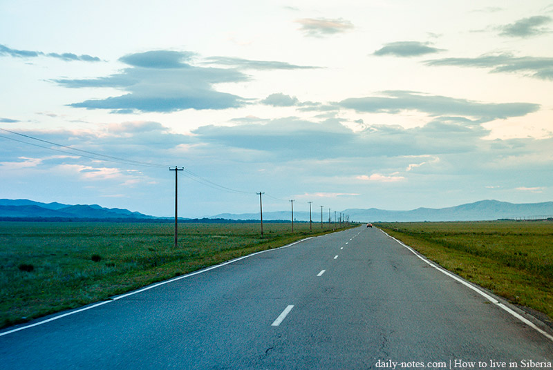
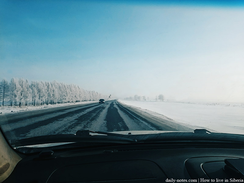
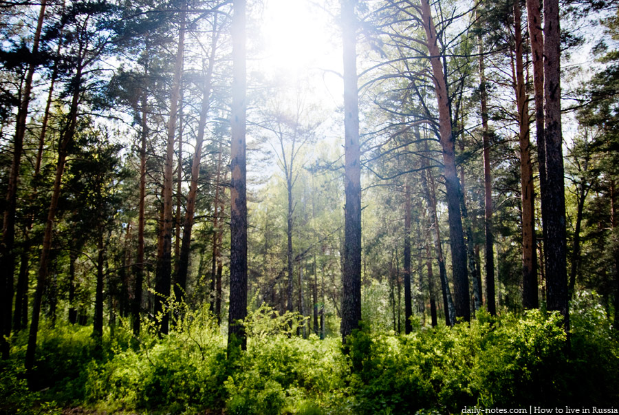
I’d say it’s a continuous forests with a few steppes. If I didn’t live here, I would imagine Siberian highway like this:
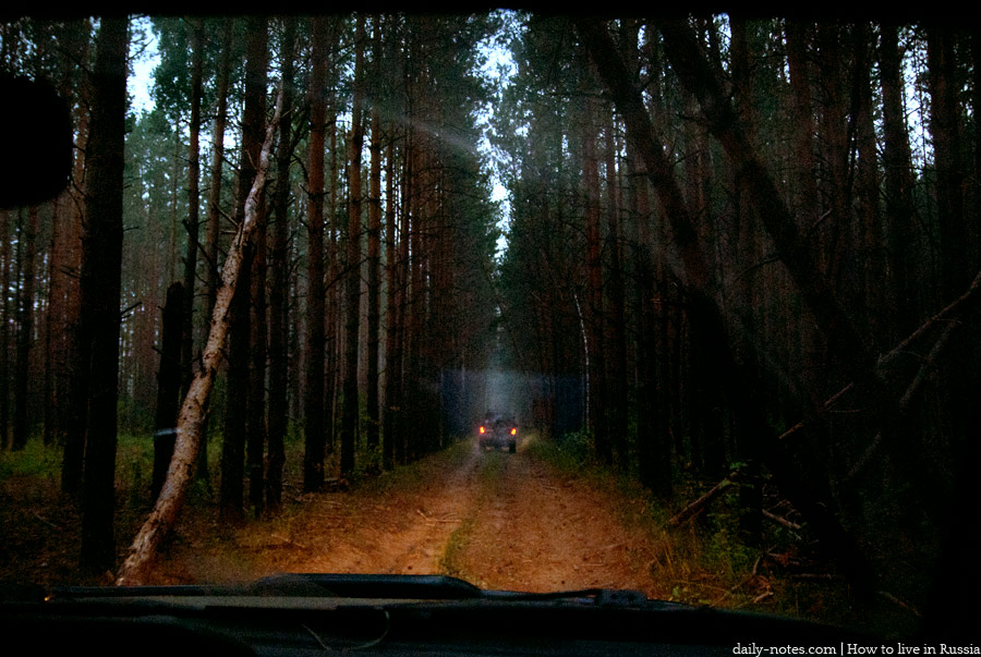
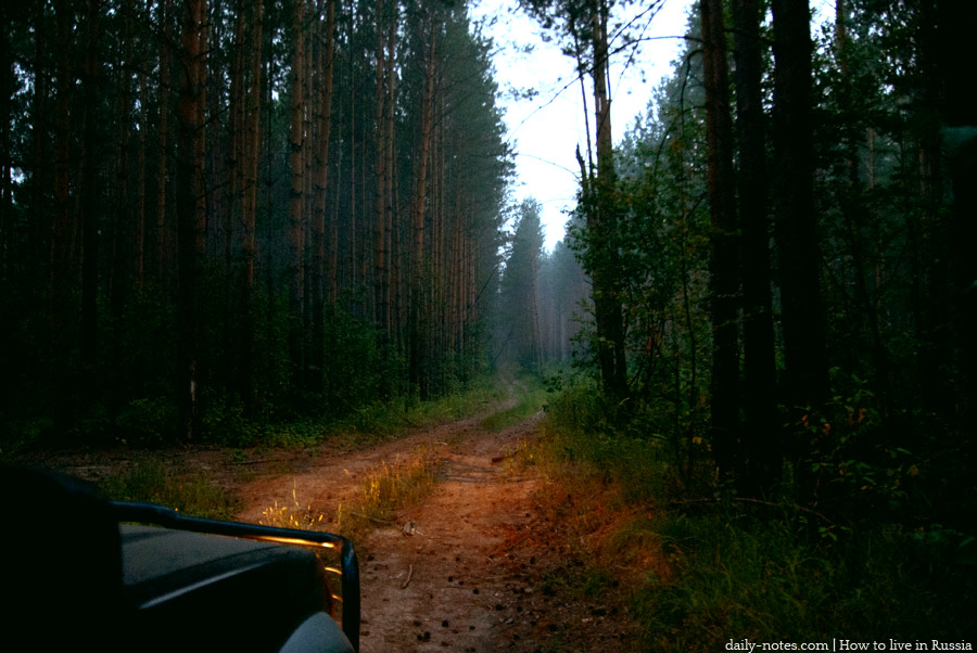
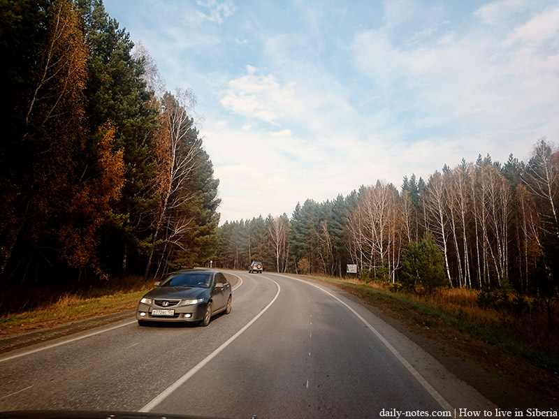
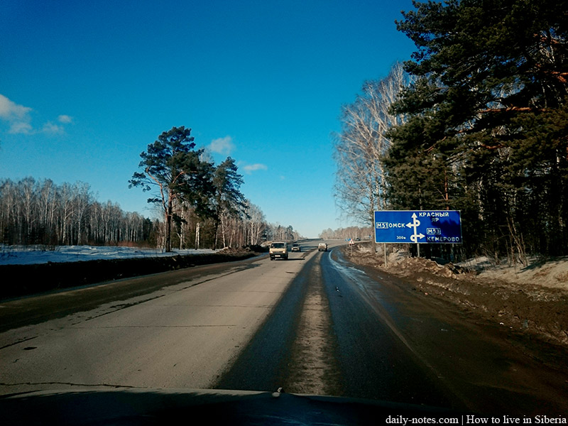
In reality, most of them look like this:
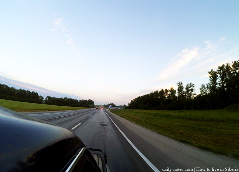
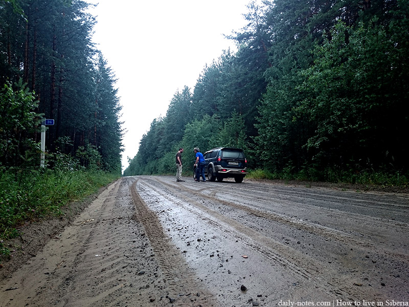
And only sometimes like this:
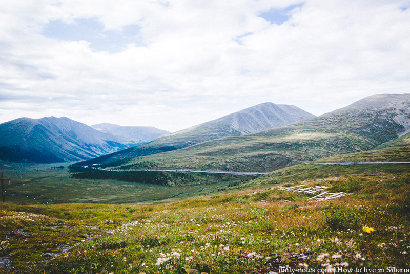
But diversity is a cool thing, when it comes to a place you live in. And diversity is the reason you can’t describe the whole Siberia as one entity, all of its parts are absolutely different. You have to spend only few hours to get to high peaks from a region with flat terrain.
